

Services
projects

+
customers
WHY CHOOSE US
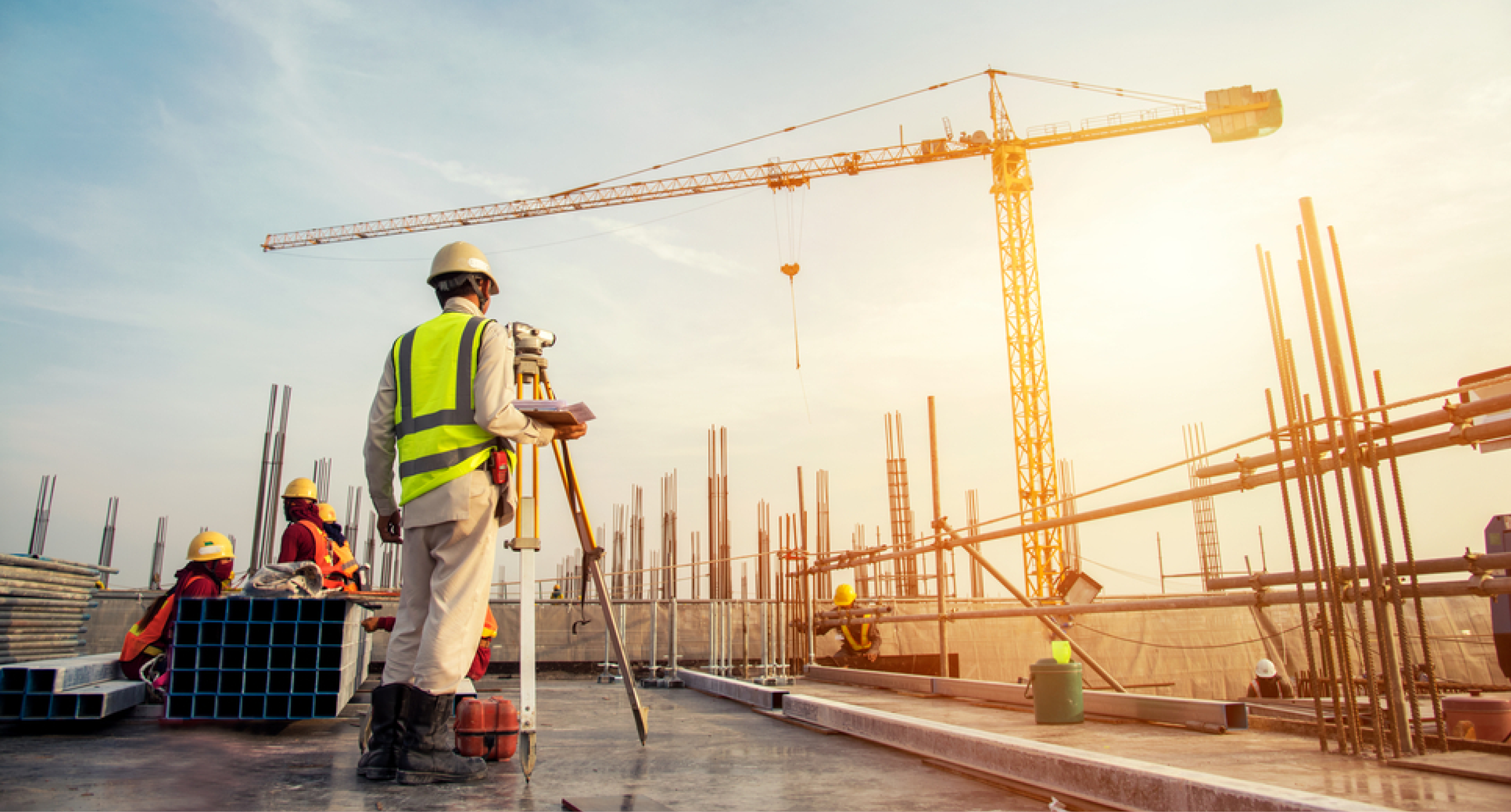
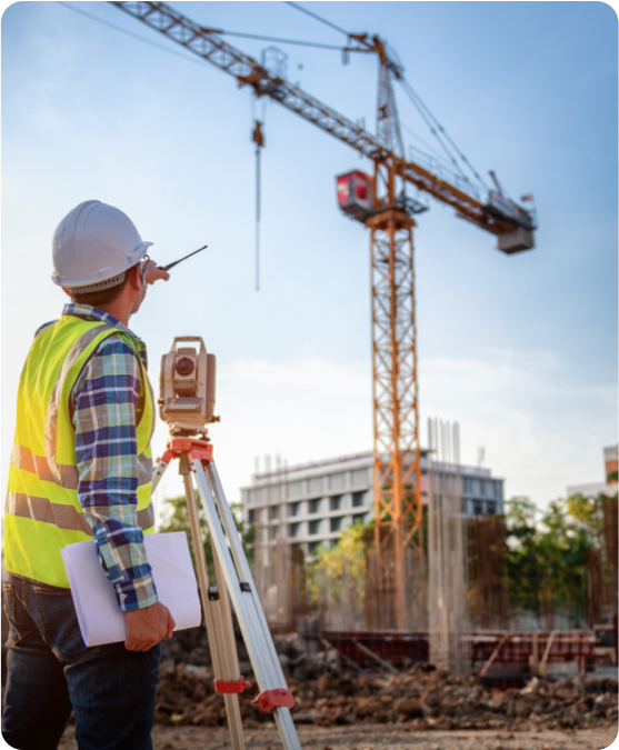
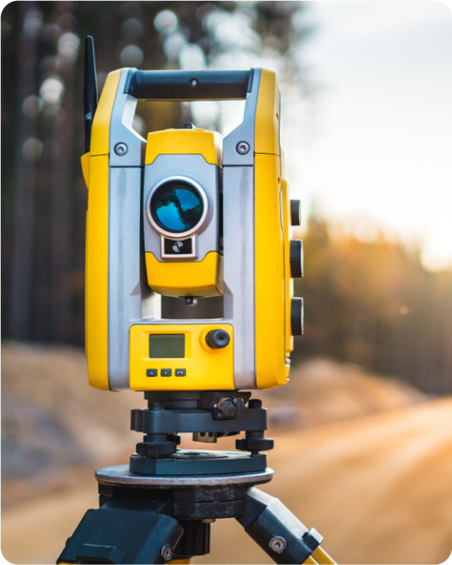
- We have been working in the field of Geomatics, surveying, and GIS for more than 20 years,
- comprises the last 7 years to adopting the latest technologies such as 3D laser scanning, drone mapping,
- 3D photogrammetry, virtual reality (VR).
- and augmented reality (AR) for construction and engineering projects. GeoSystems has all the required equipment, staff, knowledge,
- and all other resources to handle all types of land surveying, 3D laser scanning, photogrammetry, VR, and AR projects of any size