

About us

+
customers
WHY CHOOSE US
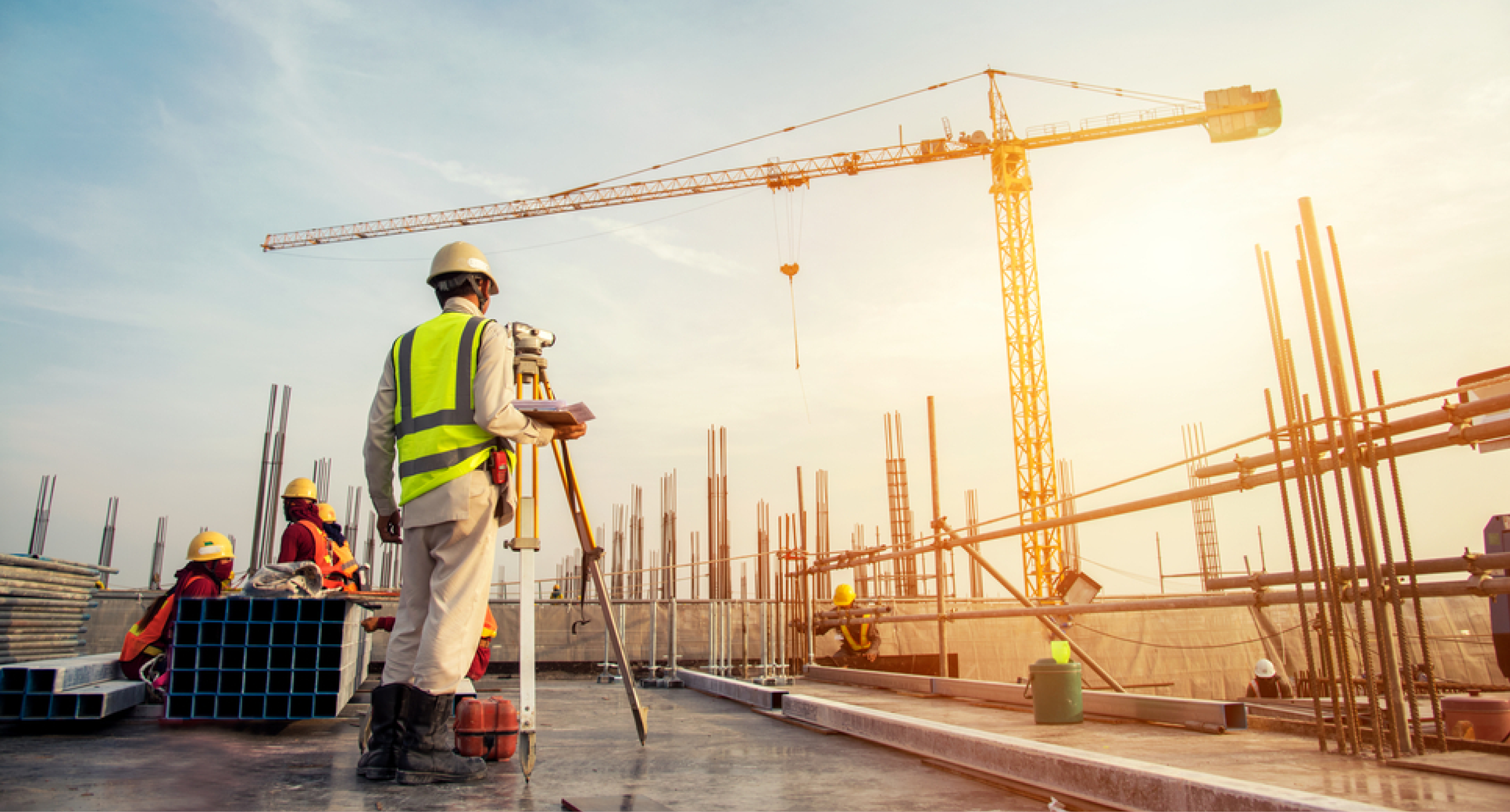
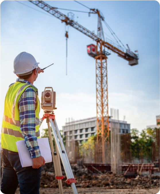
We have been working in the field of Geomatics, surveying, and GIS for more than 20 years, comprises the last 7 years to adopting the latest technologies such as 3D laser scanning, drone mapping, 3D photogrammetry, virtual reality (VR), and augmented reality (AR) for construction and engineering projects. GeoSystems has all the required equipment, staff, knowledge, and all other resources to handle all types of land surveying, 3D laser scanning, photogrammetry, VR, and AR projects of any size and complexity levels. Throughout the last 5 years, we have successfully completed several mega projects in Saudi Arabia and Egypt within the specified timeline, accuracy, and quality.